Engineering Survey
Power line route surveys, pegging and setting out. Surveys for water supply and sanitation (sewerage systems).
Roads and bridge surveys.
Irrigation & drainage surveys.
Dam construction surveys, weirs, water Pans etc.

Power line route surveys, pegging and setting out. Surveys for water supply and sanitation (sewerage systems).
Roads and bridge surveys.
Irrigation & drainage surveys.
Dam construction surveys, weirs, water Pans etc.
Registration for titles, leases easements etc. Subdivisions, amalgamation/combinations Extension of leases, change of user.
Re-establishment of missing beacons, boundary conflict resolutions etc.
Measuring and locating the size, shape, elevation and terrain of a parcel of land as well as the location of the existing spatial features like roads, fences, trees, buildings and services such as power lines, telephone lines, sewers and water lines.
Location of all service utilities including underground services with both inverts and depth values.
Presentation in hard copy plans and in digital format.
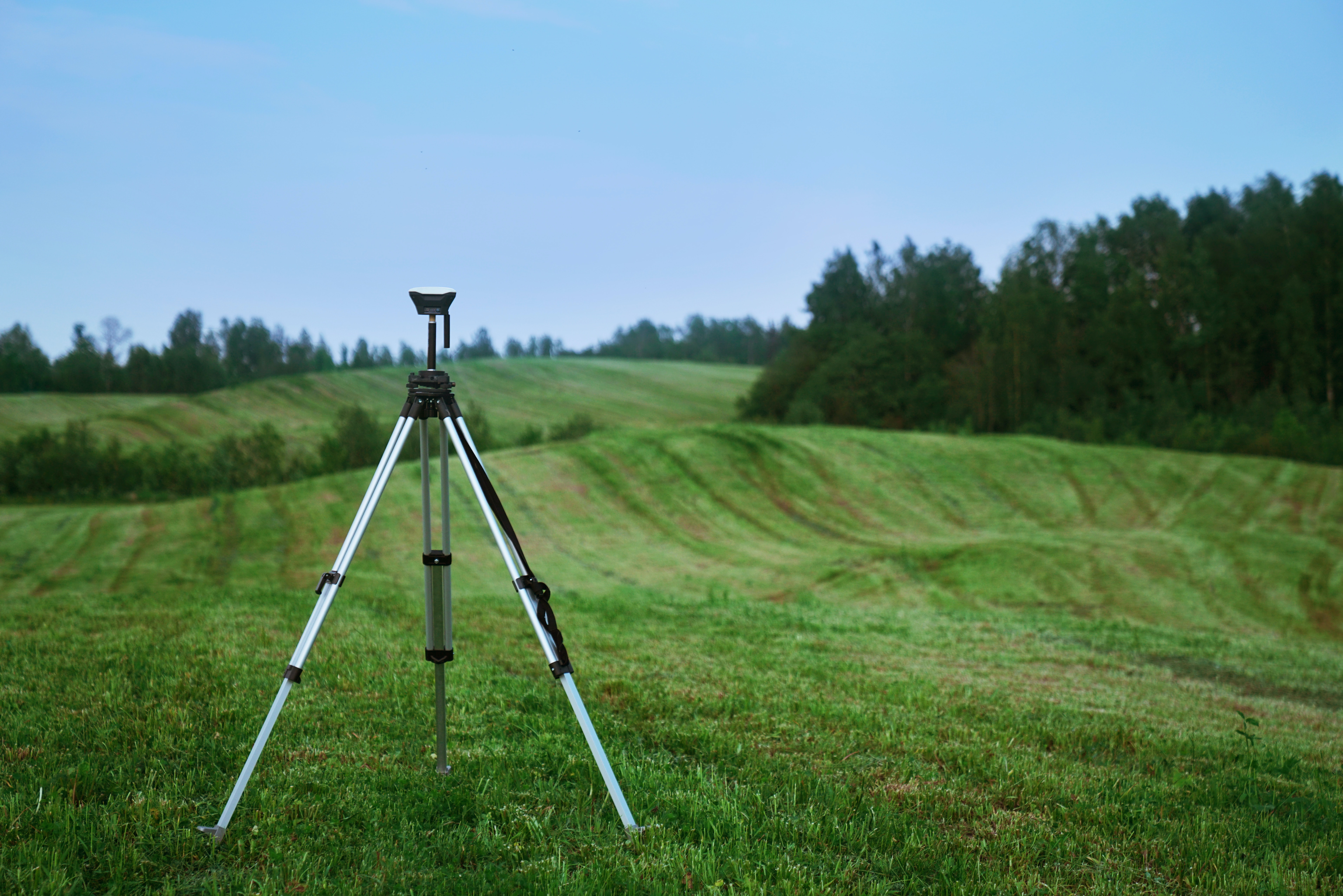
Establishment and monumentation of 3rd, 2nd and 1st order survey controls. Geodetic observations for 3rd, 2nd and 1st order controls.
GNSS data processing and network adjustments for 3rd, 2nd and 1st order controls.
Aerial surveys
Ground controls
Aerial mosaic preparations Small scale contoured maps.